Weather Alert in Colorado
Flash Flood Warning issued August 26 at 2:37PM MDT until August 26 at 4:00PM MDT by NWS Grand Junction CO
AREAS AFFECTED: Rio Blanco, CO
DESCRIPTION: At 237 PM MDT, Trained weather spotters reported debris flows over the southwest corner of the Lee burn scar. Between 0.2 and 0.8 inches of rain have fallen. The expected rainfall rate is 0.2 to 0.6 inches in 30 minutes. Flash flooding is ongoing or expected to begin shortly. Excessive rainfall over the burn scar will result in debris flows which can can consist of rock, mud, vegetation and other loose materials. HAZARD...Flash flooding. Thunderstorms producing flash flooding in and around the Lee Southwest Corner Burn Scar. SOURCE...Trained spotters reported. IMPACT...Life threatening flash flooding of areas in and around the Lee Southwest Corner Burn Scar. Some locations that will experience flash flooding include... mainly rural areas of South Central Rio Blanco County This includes the following streams and drainages... West Fork Stewart Gulch, Dry Fork Piceance Creek, Dry Thirteenmile Creek, Main Prong Dry Fork Piceance Creek, Stewart Gulch, East Fork Stewart Gulch, Story Gulch and Piceance Creek.
INSTRUCTION: This is a life threatening situation. Heavy rainfall will cause extensive and severe flash flooding of creeks...streams...and ditches in the Burn Scar. Severe debris flows can also be anticipated across roads. Roads and driveways may be washed away in places. If you encounter flood waters...climb to safety. Move away from recently burned areas. Life-threatening flooding of creeks, roads and normally dry arroyos is likely. The heavy rains will likely trigger rockslides, mudslides and debris flows in steep terrain, especially in and around these areas.
Want more detail? Get the Complete 7 Day and Night Detailed Forecast!
Current U.S. National Radar--Current
The Current National Weather Radar is shown below with a UTC Time (subtract 5 hours from UTC to get Eastern Time).

National Weather Forecast--Current
The Current National Weather Forecast and National Weather Map are shown below.

National Weather Forecast for Tomorrow
Tomorrow National Weather Forecast and Tomorrow National Weather Map are show below.

North America Water Vapor (Moisture)
This map shows recent moisture content over North America. Bright and colored areas show high moisture (ie, clouds); brown indicates very little moisture present; black indicates no moisture.

Weather Topic: What is Drizzle?
Home - Education - Precipitation - Drizzle
 Next Topic: Evaporation
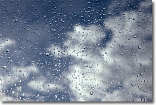
Drizzle is precipitation in the form of water droplets which are
smaller than raindrops.
Drizzle is characterized by fine, gently falling droplets and typically does not
impact human habitation in a negative way. The exception to this is freezing drizzle,
a condition where drizzle freezes immediately upon reaching earth's surface.
Freezing drizzle is still less dangerous than freezing rain, but can
potentially result in hazardous road conditions.
Next Topic: Evaporation
Weather Topic: What is Fog?
Home - Education - Cloud Types - Fog
 Next Topic: Fractus Clouds
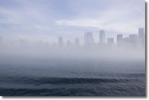
Fog is technically a type of stratus cloud, which lies along the
ground and obscures visibility.
It is usually created when humidity in the air condenses into tiny water droplets.
Because of this, some places are more prone to foggy weather, such as regions
close to a body of water.
Fog is similar to mist; both are the appearance of water droplets suspended in
the air, but fog is the term applied to the condition when visibility is less than 1 km.
Next Topic: Fractus Clouds
Current conditions powered by WeatherAPI.com


